
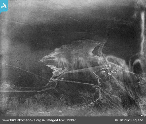
EPW019397 ENGLAND (1927). Blackstone Edge Reservoir, Littleborough, 1927
© Copyright OpenStreetMap contributors and licensed by the OpenStreetMap Foundation. 2025. Cartography is licensed as CC BY-SA.
Nearby Images (7)
EPW019397

EPW019624

EPW019618

EPW019614

EPW019629

EPW019401

EPW019399

Details
| Title | [EPW019397] Blackstone Edge Reservoir, Littleborough, 1927 |
| Reference | EPW019397 |
| Date | September-1927 |
| Link | |
| Place name | LITTLEBOROUGH |
| Parish | |
| District | |
| Country | ENGLAND |
| Easting / Northing | 397031, 418213 |
| Longitude / Latitude | -2.0449331897194, 53.660166459044 |
| National Grid Reference | SD970182 |
Pins

BobShut |
Monday 23rd of February 2015 04:47:50 PM |