
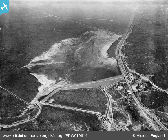
EPW019614 ENGLAND (1927). Blackstone Edge Reservoir, Littleborough, 1927
© Copyright OpenStreetMap contributors and licensed by the OpenStreetMap Foundation. 2025. Cartography is licensed as CC BY-SA.
Nearby Images (7)
EPW019614

EPW019401

EPW019624

EPW019618

EPW019397

EPW019629

EPW019399

Details
| Title | [EPW019614] Blackstone Edge Reservoir, Littleborough, 1927 |
| Reference | EPW019614 |
| Date | 14-October-1927 |
| Link | |
| Place name | LITTLEBOROUGH |
| Parish | |
| District | |
| Country | ENGLAND |
| Easting / Northing | 396937, 418156 |
| Longitude / Latitude | -2.0463552339102, 53.659653531392 |
| National Grid Reference | SD969182 |
Pins

bobmunc |
Sunday 24th of March 2019 08:31:06 PM | |
|
wadey |
Tuesday 18th of November 2014 03:13:51 PM | |
|
wadey |
Tuesday 18th of November 2014 03:13:32 PM | |
|
wadey |
Tuesday 18th of November 2014 03:13:01 PM | |
|
wadey |
Tuesday 18th of November 2014 03:10:30 PM | |
|
wadey |
Tuesday 18th of November 2014 03:09:13 PM | |
|
wadey |
Tuesday 18th of November 2014 03:07:37 PM |