
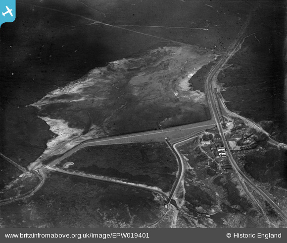
EPW019401 ENGLAND (1927). Blackstone Edge Reservoir, Littleborough, 1927
© Copyright OpenStreetMap contributors and licensed by the OpenStreetMap Foundation. 2025. Cartography is licensed as CC BY-SA.
Nearby Images (7)
EPW019401

EPW019614

EPW019624

EPW019618

EPW019629

EPW019399

EPW019397

Details
| Title | [EPW019401] Blackstone Edge Reservoir, Littleborough, 1927 |
| Reference | EPW019401 |
| Date | September-1927 |
| Link | |
| Place name | LITTLEBOROUGH |
| Parish | |
| District | |
| Country | ENGLAND |
| Easting / Northing | 396905, 418110 |
| Longitude / Latitude | -2.0468390611371, 53.659239838901 |
| National Grid Reference | SD969181 |
