
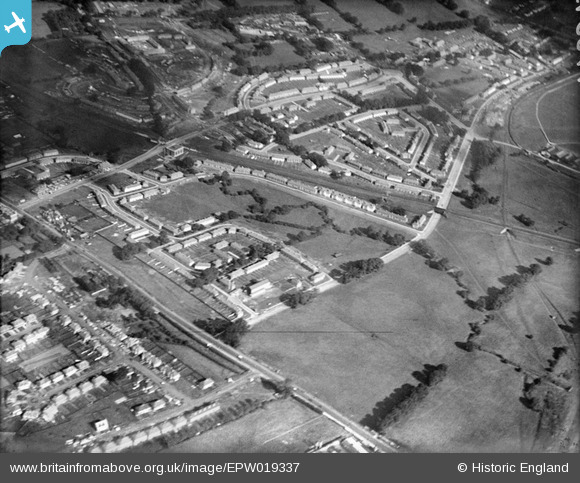
EPW019337 ENGLAND (1927). New housing next to the London Aerodrome, Burnt Oak, 1927
© Copyright OpenStreetMap contributors and licensed by the OpenStreetMap Foundation. 2026. Cartography is licensed as CC BY-SA.
Nearby Images (16)
EPW019337

EPW019338

EPW017380

EPW019314

EPW017582

EPW019315

EPW017379

EPW017580

EPW019336

EPW016518

EPW017587

EPW017586

EPW009682

EPW009346

EPW009344

EPW019335

Details
| Title | [EPW019337] New housing next to the London Aerodrome, Burnt Oak, 1927 |
| Reference | EPW019337 |
| Date | 23-September-1927 |
| Link | |
| Place name | BURNT OAK |
| Parish | |
| District | |
| Country | ENGLAND |
| Easting / Northing | 520486, 190462 |
| Longitude / Latitude | -0.26018591655779, 51.599624280273 |
| National Grid Reference | TQ205905 |
Pins

bazouteast |
Thursday 15th of October 2020 11:15:45 PM | |
|
bazouteast |
Thursday 15th of October 2020 11:15:17 PM | |
|
bazouteast |
Thursday 15th of October 2020 11:14:58 PM | |
|
bazouteast |
Thursday 15th of October 2020 11:14:37 PM | |

Class31 |
Thursday 23rd of August 2012 10:50:19 PM |
User Comment Contributions

Watling Ave and environs |
peterb |
Friday 2nd of November 2012 08:31:15 PM |