
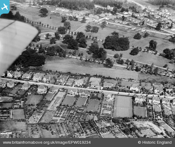
EPW019234 ENGLAND (1927). Cassiobury Park and Cassiobury Park Avenue, West Watford, 1927
© Copyright OpenStreetMap contributors and licensed by the OpenStreetMap Foundation. 2026. Cartography is licensed as CC BY-SA.
Nearby Images (8)
EPW019234

EPW039631

EAW018527

EPW021334

EPW019232

EPW019231

EPW019305

EAW047903

Details
| Title | [EPW019234] Cassiobury Park and Cassiobury Park Avenue, West Watford, 1927 |
| Reference | EPW019234 |
| Date | August-1927 |
| Link | |
| Place name | WEST WATFORD |
| Parish | |
| District | |
| Country | ENGLAND |
| Easting / Northing | 509931, 196644 |
| Longitude / Latitude | -0.410592525473, 51.65735287077 |
| National Grid Reference | TQ099966 |
Pins

Brian |
Saturday 4th of April 2015 03:29:41 AM | |

Class31 |
Monday 7th of October 2013 03:06:58 PM | |
|
Class31 |
Monday 7th of October 2013 03:06:19 PM | |
|
Class31 |
Monday 7th of October 2013 03:05:51 PM |
User Comment Contributions
View looking north. |
Class31 |
Monday 7th of October 2013 03:07:36 PM |