
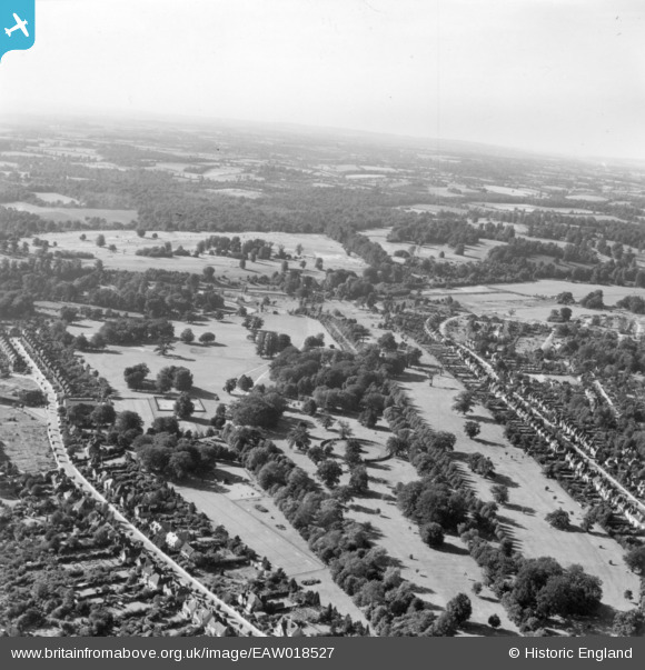
EAW018527 ENGLAND (1948). Cassiobury Park, Watford, from the south-east, 1948. This image has been produced from a print.
© Copyright OpenStreetMap contributors and licensed by the OpenStreetMap Foundation. 2026. Cartography is licensed as CC BY-SA.
Nearby Images (8)
EAW018527

EPW021334

EPW019231

EPW019232

EPW039631

EPW019234

EPW019233

EAW002183

Details
| Title | [EAW018527] Cassiobury Park, Watford, from the south-east, 1948. This image has been produced from a print. |
| Reference | EAW018527 |
| Date | 9-September-1948 |
| Link | |
| Place name | WATFORD |
| Parish | |
| District | |
| Country | ENGLAND |
| Easting / Northing | 509820, 196796 |
| Longitude / Latitude | -0.41214896363246, 51.658740872643 |
| National Grid Reference | TQ098968 |
Pins

james davis |
Sunday 15th of September 2024 08:26:50 PM | |
|
Brad |
Tuesday 17th of July 2018 11:42:37 AM | |
|
Brad |
Tuesday 17th of July 2018 11:42:09 AM |