
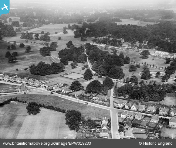
EPW019233 ENGLAND (1927). Cassiobury Park, West Watford, 1927
© Copyright OpenStreetMap contributors and licensed by the OpenStreetMap Foundation. 2026. Cartography is licensed as CC BY-SA.
Nearby Images (7)
EPW019233

EAW002183

EPW019231

EPW019235

EPW021334

EAW018527

EPW019232

Details
| Title | [EPW019233] Cassiobury Park, West Watford, 1927 |
| Reference | EPW019233 |
| Date | August-1927 |
| Link | |
| Place name | WEST WATFORD |
| Parish | |
| District | |
| Country | ENGLAND |
| Easting / Northing | 509629, 196804 |
| Longitude / Latitude | -0.41490692036856, 51.658850078602 |
| National Grid Reference | TQ096968 |
Pins

John Swain |
Monday 1st of December 2014 02:55:36 PM | |
|
John Swain |
Monday 1st of December 2014 02:54:32 PM | |
|
John Swain |
Monday 1st of December 2014 02:53:31 PM | |

Class31 |
Monday 7th of October 2013 03:20:03 PM | |
|
Class31 |
Monday 7th of October 2013 03:18:15 PM | |

Ron B |
Monday 10th of September 2012 12:04:13 PM | |
|
Ron B |
Monday 10th of September 2012 12:02:55 PM | |
|
Ron B |
Monday 10th of September 2012 12:01:14 PM | |
The famous old manor house was awaiting the demolition team from Luton when this image was taken! The house had been empty since before 1922 and had been in a poor state of repair from early Victorian times. Once the extensive grounds had been sold off after the Great War, there was little public interest in the purchase of such an expensive property. In the long term, Watford became the beneficiary of a real bargain and Cassiobury Park has been enjoyed by generations of local inhabitants for more a century, including this contributor! |
John Swain |
Monday 1st of December 2014 03:04:42 PM |