
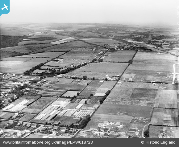
EPW018728 ENGLAND (1927). Salvington Hill and environs, Salvington, from the south-east, 1927
© Copyright OpenStreetMap contributors and licensed by the OpenStreetMap Foundation. 2024. Cartography is licensed as CC BY-SA.
Nearby Images (6)
EPW018728

EPW018723

EPW018724

EPW018727

EPW018726

EPW018725

Details
| Title | [EPW018728] Salvington Hill and environs, Salvington, from the south-east, 1927 |
| Reference | EPW018728 |
| Date | 6-July-1927 |
| Link | |
| Place name | SALVINGTON |
| Parish | |
| District | |
| Country | ENGLAND |
| Easting / Northing | 512216, 105707 |
| Longitude / Latitude | -0.40608895714259, 50.83943677289 |
| National Grid Reference | TQ122057 |
Pins
 kingy69 |
Tuesday 12th of November 2019 10:45:07 AM | |
kingy69 |
Tuesday 12th of November 2019 10:44:36 AM | |
kingy69 |
Tuesday 12th of November 2019 10:44:07 AM | |
kingy69 |
Tuesday 12th of November 2019 10:43:23 AM | |
Jay Raby |
Wednesday 30th of April 2014 06:07:16 PM | |
Jay Raby |
Wednesday 30th of April 2014 06:03:36 PM |