
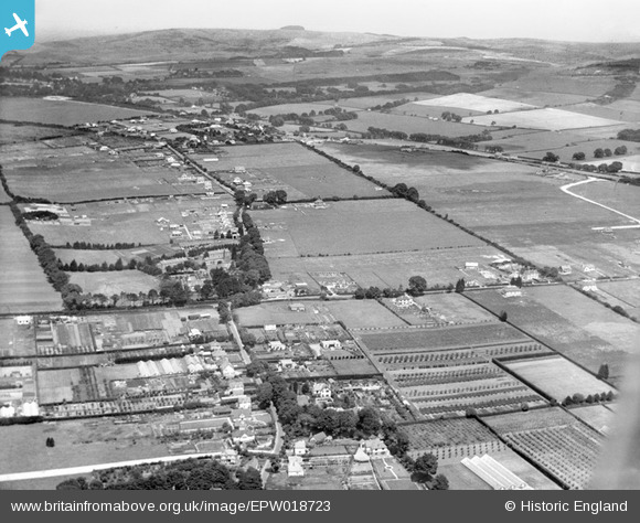
EPW018723 ENGLAND (1927). Durrington Hill, Salvington Hill and environs, Salvington, from the south, 1927
© Copyright OpenStreetMap contributors and licensed by the OpenStreetMap Foundation. 2024. Cartography is licensed as CC BY-SA.
Nearby Images (5)
EPW018723

EPW018728

EPW018724

EPW018727

EPW018726

Details
| Title | [EPW018723] Durrington Hill, Salvington Hill and environs, Salvington, from the south, 1927 |
| Reference | EPW018723 |
| Date | 6-July-1927 |
| Link | |
| Place name | SALVINGTON |
| Parish | |
| District | |
| Country | ENGLAND |
| Easting / Northing | 512207, 105775 |
| Longitude / Latitude | -0.40619591037711, 50.840049841327 |
| National Grid Reference | TQ122058 |
Pins
 kingy69 |
Tuesday 12th of November 2019 10:49:36 AM | |
kingy69 |
Tuesday 12th of November 2019 10:49:07 AM | |
kingy69 |
Tuesday 12th of November 2019 10:48:51 AM | |
kingy69 |
Tuesday 12th of November 2019 10:48:32 AM | |
Biggles1951 |
Tuesday 20th of November 2012 11:58:37 AM | |
rh8 |
Monday 16th of July 2012 05:00:55 PM |