
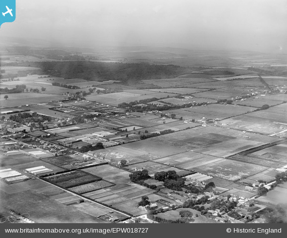
EPW018727 ENGLAND (1927). Clapham Wood, Salvington, from the south-east, 1927
© Copyright OpenStreetMap contributors and licensed by the OpenStreetMap Foundation. 2024. Cartography is licensed as CC BY-SA.
Nearby Images (6)
EPW018727

EPW018724

EPW018728

EPW018725

EPW018726

EPW018723

Details
| Title | [EPW018727] Clapham Wood, Salvington, from the south-east, 1927 |
| Reference | EPW018727 |
| Date | 6-July-1927 |
| Link | |
| Place name | SALVINGTON |
| Parish | |
| District | |
| Country | ENGLAND |
| Easting / Northing | 512228, 105583 |
| Longitude / Latitude | -0.40595656863593, 50.838319680033 |
| National Grid Reference | TQ122056 |
Pins
 Martin Rooke-Matthews |
Monday 2nd of July 2012 06:00:46 PM | |
Martin Rooke-Matthews |
Saturday 30th of June 2012 12:30:05 PM |
User Comment Contributions
Half Moon Inn? |
Gina Phillips |
Sunday 24th of November 2013 07:08:03 PM |