
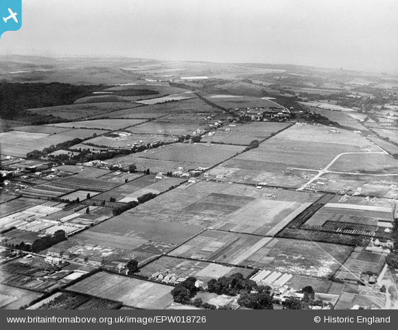
EPW018726 ENGLAND (1927). Salvington Hill and environs, Salvington, from the south-east, 1927
© Copyright OpenStreetMap contributors and licensed by the OpenStreetMap Foundation. 2024. Cartography is licensed as CC BY-SA.
Nearby Images (4)
EPW018726

EPW018728

EPW018727

EPW018723

Details
| Title | [EPW018726] Salvington Hill and environs, Salvington, from the south-east, 1927 |
| Reference | EPW018726 |
| Date | 6-July-1927 |
| Link | |
| Place name | SALVINGTON |
| Parish | |
| District | |
| Country | ENGLAND |
| Easting / Northing | 512391, 105685 |
| Longitude / Latitude | -0.40361104459377, 50.839205021405 |
| National Grid Reference | TQ124057 |
Pins
 sweetpeagrower |
Wednesday 18th of July 2012 08:24:25 PM | |
sweetpeagrower |
Wednesday 18th of July 2012 08:23:44 PM | |
Martin Rooke-Matthews |
Saturday 30th of June 2012 12:27:05 PM | |
Amazing: my ancestors, Richard and Elizabeth West, lived here in the 1840s. |
Gina Phillips |
Friday 6th of June 2014 06:00:15 PM |
Martin Rooke-Matthews |
Saturday 30th of June 2012 12:25:46 PM |