
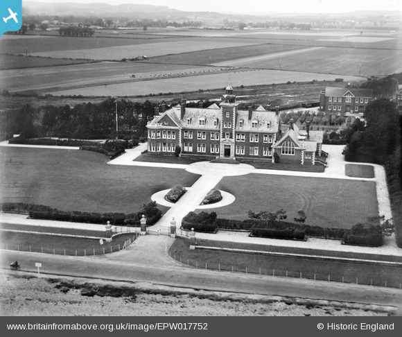
EPW017752 ENGLAND (1927). Rustington Convalescent Home, Rustington, 1927
© Copyright OpenStreetMap contributors and licensed by the OpenStreetMap Foundation. 2026. Cartography is licensed as CC BY-SA.
Nearby Images (5)
EPW017752

EPW017749

EAW053145

EAW053143

EAW053144

Details
| Title | [EPW017752] Rustington Convalescent Home, Rustington, 1927 |
| Reference | EPW017752 |
| Date | April-1927 |
| Link | |
| Place name | RUSTINGTON |
| Parish | RUSTINGTON |
| District | |
| Country | ENGLAND |
| Easting / Northing | 504307, 101447 |
| Longitude / Latitude | -0.5195982111035, 50.802617133278 |
| National Grid Reference | TQ043014 |
Pins
Be the first to add a comment to this image!