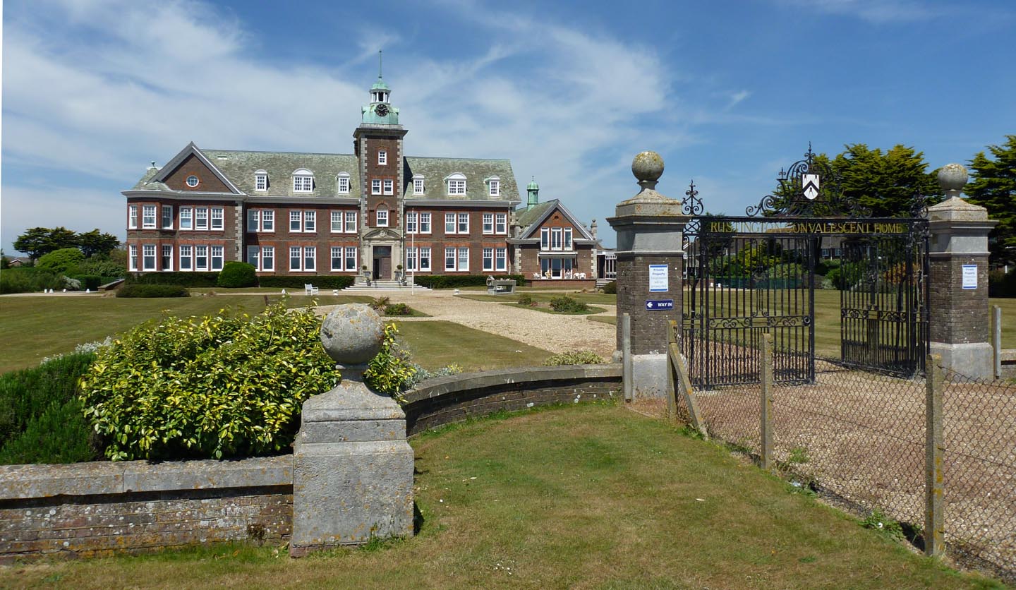
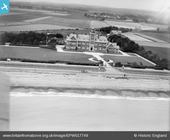
EPW017749 ENGLAND (1927). Rustington Convalescent Home, Rustington, 1927
© Copyright OpenStreetMap contributors and licensed by the OpenStreetMap Foundation. 2026. Cartography is licensed as CC BY-SA.
Nearby Images (5)
Details
| Title | [EPW017749] Rustington Convalescent Home, Rustington, 1927 |
| Reference | EPW017749 |
| Date | April-1927 |
| Link | |
| Place name | RUSTINGTON |
| Parish | RUSTINGTON |
| District | |
| Country | ENGLAND |
| Easting / Northing | 504303, 101360 |
| Longitude / Latitude | -0.51967968162054, 50.8018356733 |
| National Grid Reference | TQ043014 |
Pins
Be the first to add a comment to this image!
User Comment Contributions

Rustington Convalescent Home |

Alan McFaden |
Thursday 4th of December 2014 05:45:19 PM |


![[EPW017749] Rustington Convalescent Home, Rustington, 1927](http://britainfromabove.org.uk/sites/all/libraries/aerofilms-images/public/100x100/EPW/017/EPW017749.jpg)
![[EPW017752] Rustington Convalescent Home, Rustington, 1927](http://britainfromabove.org.uk/sites/all/libraries/aerofilms-images/public/100x100/EPW/017/EPW017752.jpg)
![[EAW053145] Harsfold Road and the Poets Corner area, Rustington, from the south, 1954](http://britainfromabove.org.uk/sites/all/libraries/aerofilms-images/public/100x100/EAW/053/EAW053145.jpg)
![[EAW053144] Harsfold Road and the Poets Corner area, Rustington, from the south, 1954](http://britainfromabove.org.uk/sites/all/libraries/aerofilms-images/public/100x100/EAW/053/EAW053144.jpg)
![[EAW053143] Harsfold Road and the Poets Corner area, Rustington, from the south, 1954](http://britainfromabove.org.uk/sites/all/libraries/aerofilms-images/public/100x100/EAW/053/EAW053143.jpg)