
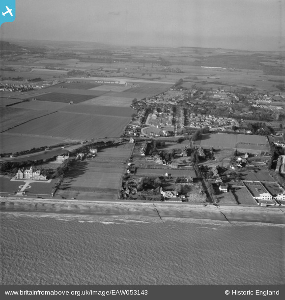
EAW053143 ENGLAND (1954). Harsfold Road and the Poets Corner area, Rustington, from the south, 1954
© Copyright OpenStreetMap contributors and licensed by the OpenStreetMap Foundation. 2026. Cartography is licensed as CC BY-SA.
Nearby Images (6)
EAW053143

EAW053144

EAW053145

EAW053141

EPW017752

EPW017749

Details
| Title | [EAW053143] Harsfold Road and the Poets Corner area, Rustington, from the south, 1954 |
| Reference | EAW053143 |
| Date | 20-February-1954 |
| Link | |
| Place name | RUSTINGTON |
| Parish | RUSTINGTON |
| District | |
| Country | ENGLAND |
| Easting / Northing | 504491, 101512 |
| Longitude / Latitude | -0.51696917796549, 50.803168358947 |
| National Grid Reference | TQ045015 |
Pins
Be the first to add a comment to this image!