
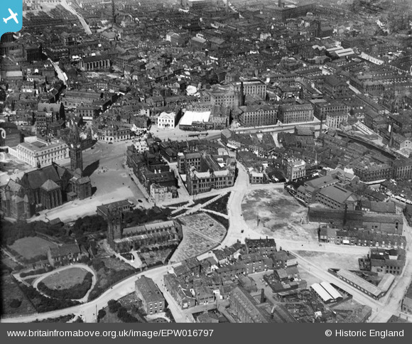
EPW016797 ENGLAND (1926). St Chad's Church and Gardens and environs, Rochdale, 1926
© Copyright OpenStreetMap contributors and licensed by the OpenStreetMap Foundation. 2026. Cartography is licensed as CC BY-SA.
Nearby Images (6)
EPW016797

EPW016786

EPW016783

EPW016791

EPW016780

EAW022017

Details
| Title | [EPW016797] St Chad's Church and Gardens and environs, Rochdale, 1926 |
| Reference | EPW016797 |
| Date | August-1926 |
| Link | |
| Place name | ROCHDALE |
| Parish | |
| District | |
| Country | ENGLAND |
| Easting / Northing | 389722, 413286 |
| Longitude / Latitude | -2.1553853074489, 53.615783976238 |
| National Grid Reference | SD897133 |
Pins

granemill07 |
Saturday 16th of April 2016 02:23:22 PM | |
|
wadey |
Tuesday 16th of December 2014 03:21:45 PM | |

BfA events |
Monday 22nd of April 2013 03:03:24 PM | |
|
BfA events |
Monday 22nd of April 2013 03:01:29 PM | |
|
BfA events |
Monday 22nd of April 2013 03:00:07 PM | |
|
BfA events |
Monday 22nd of April 2013 02:53:10 PM | |
|
Cyan |
Wednesday 4th of July 2012 10:42:19 PM |