
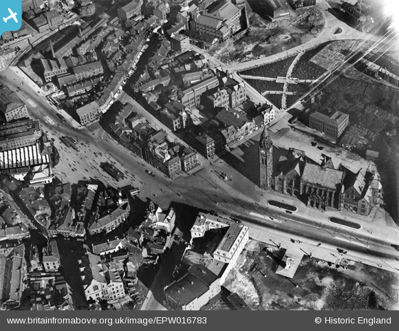
EPW016783 ENGLAND (1926). Town Hall Square, Rochdale, 1926
© Copyright OpenStreetMap contributors and licensed by the OpenStreetMap Foundation. 2026. Cartography is licensed as CC BY-SA.
Nearby Images (6)
EPW016783

EPW016786

EPW016797

EPW016780

EPW016791

EAW022017

Details
| Title | [EPW016783] Town Hall Square, Rochdale, 1926 |
| Reference | EPW016783 |
| Date | August-1926 |
| Link | |
| Place name | ROCHDALE |
| Parish | |
| District | |
| Country | ENGLAND |
| Easting / Northing | 389663, 413319 |
| Longitude / Latitude | -2.1562783756979, 53.616079460326 |
| National Grid Reference | SD897133 |
Pins

Mikeya |
Wednesday 22nd of May 2019 10:25:55 PM |