
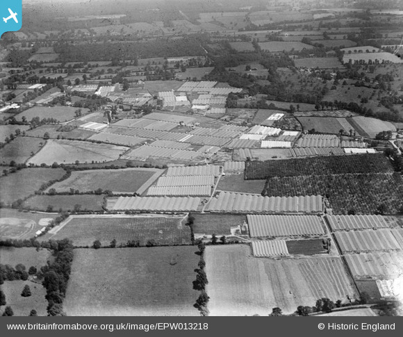
EPW013218 ENGLAND (1925). Glasshouses and orchards, Flamstead End, 1925
© Copyright OpenStreetMap contributors and licensed by the OpenStreetMap Foundation. 2025. Cartography is licensed as CC BY-SA.
Nearby Images (7)
EPW013218

EPW013219

EAW007159

EPW013217

EAW014153

EAW007165

EAW014154

Details
| Title | [EPW013218] Glasshouses and orchards, Flamstead End, 1925 |
| Reference | EPW013218 |
| Date | July-1925 |
| Link | |
| Place name | FLAMSTEAD END |
| Parish | |
| District | |
| Country | ENGLAND |
| Easting / Northing | 534081, 203451 |
| Longitude / Latitude | -0.059007228230558, 51.7132852852 |
| National Grid Reference | TL341035 |
Pins

sweetpeagrower |
Thursday 18th of April 2013 02:16:17 PM | |
|
sweetpeagrower |
Thursday 18th of April 2013 02:15:00 PM | |
|
sweetpeagrower |
Thursday 18th of April 2013 02:14:07 PM |