
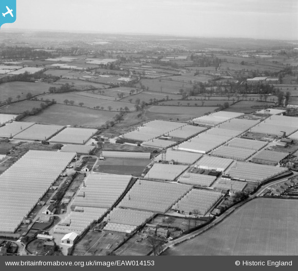
EAW014153 ENGLAND (1948). Glasshouses off Longfield Lane and environs, Rosedale, from the north-east, 1948
© Copyright OpenStreetMap contributors and licensed by the OpenStreetMap Foundation. 2025. Cartography is licensed as CC BY-SA.
Nearby Images (8)
EAW014153

EAW007164

EPW013217

EAW007159

EAW014154

EPW013219

EPW013218

EAW007163

Details
| Title | [EAW014153] Glasshouses off Longfield Lane and environs, Rosedale, from the north-east, 1948 |
| Reference | EAW014153 |
| Date | 7-April-1948 |
| Link | |
| Place name | ROSEDALE |
| Parish | |
| District | |
| Country | ENGLAND |
| Easting / Northing | 534327, 203527 |
| Longitude / Latitude | -0.055418972604862, 51.71390943398 |
| National Grid Reference | TL343035 |
Pins
Be the first to add a comment to this image!