
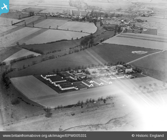
EPW005331 ENGLAND (1921). The Isolation Hospital, Dagenham, 1921
© Copyright OpenStreetMap contributors and licensed by the OpenStreetMap Foundation. 2025. Cartography is licensed as CC BY-SA.
Nearby Images (7)
EPW005331

EPW005336

EPW005333

EPW005334

EPW005337

EPW005335

EPW005332

Details
| Title | [EPW005331] The Isolation Hospital, Dagenham, 1921 |
| Reference | EPW005331 |
| Date | January-1921 |
| Link | |
| Place name | DAGENHAM |
| Parish | |
| District | |
| Country | ENGLAND |
| Easting / Northing | 550306, 183726 |
| Longitude / Latitude | 0.16723377769911, 51.531926161437 |
| National Grid Reference | TQ503837 |
Pins

Kate N |
Monday 31st of March 2014 09:06:36 PM |