
EPW001726 ENGLAND (1920). Kingston upon Thames and Kingston Bridge, Kingston upon Thames, 1920

© Copyright OpenStreetMap contributors and licensed by the OpenStreetMap Foundation. 2026. Cartography is licensed as CC BY-SA.
Nearby Images (17)
EPW001726

EPW001721

EPW018087

EPW001722

EPW001724

EPW018088

EAW042762

EPW001723

EAW008244

EPW022858

EPW022856

EPW022855

EAW042763

EPW031972

EPW031975

EPW031976

EPW053659

Details
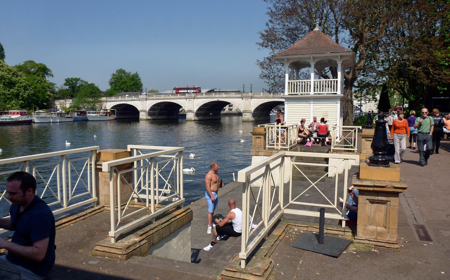
| Title | [EPW001726] Kingston upon Thames and Kingston Bridge, Kingston upon Thames, 1920 |
| Reference | EPW001726 |
| Date | June-1920 |
| Link | |
| Place name | HAMPTON WICK |
| Parish | |
| District | |
| Country | ENGLAND |
| Easting / Northing | 517581, 169456 |
| Longitude / Latitude | -0.3091189344633, 51.411424606875 |
| National Grid Reference | TQ176695 |
Pins

UPONTHAMES |
Friday 20th of October 2023 09:44:06 PM | |
|
UPONTHAMES |
Friday 20th of October 2023 09:21:16 PM | |
|
Milnetashi |
Monday 7th of February 2022 05:17:51 PM | |
|
Leslie B |
Thursday 22nd of April 2021 10:37:57 PM | |

Class31 |
Wednesday 9th of September 2015 12:28:38 PM | |
|
Pip |
Sunday 2nd of February 2014 11:27:31 PM | |
|
Pip |
Sunday 2nd of February 2014 11:27:10 PM |

User Comment Contributions

From Kingston Bridge, 07/09/2015 |
Class31 |
Wednesday 9th of September 2015 12:29:56 PM |

Kingston Bridge, 07/09/2015 |
Class31 |
Wednesday 9th of September 2015 12:29:20 PM |

Kingston upon Thames |

Alan McFaden |
Thursday 4th of December 2014 09:23:33 AM |
Kingston Bridge |
Alan McFaden |
Thursday 4th of December 2014 09:22:59 AM |