
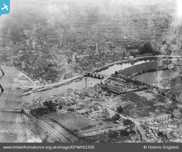
EPW001336 ENGLAND (1920). Worcester Bridge and the city centre, Worcester, 1920
© Copyright OpenStreetMap contributors and licensed by the OpenStreetMap Foundation. 2026. Cartography is licensed as CC BY-SA.
Nearby Images (20)
EPW001336

EPW001300

EPW001301

EPW000203

EAW023845

EPW005380

EPW000206

EPW005384

EAW046114

EAW046113

EAW023846

EPW001304

EPW005383

EPW000204

EPW045004

EPW005407

EAW023848

EPW048089

EPW001335

EAW003994

Details
| Title | [EPW001336] Worcester Bridge and the city centre, Worcester, 1920 |
| Reference | EPW001336 |
| Date | May-1920 |
| Link | |
| Place name | WORCESTER |
| Parish | |
| District | |
| Country | ENGLAND |
| Easting / Northing | 384662, 254799 |
| Longitude / Latitude | -2.2243983615688, 52.190815472935 |
| National Grid Reference | SO847548 |
