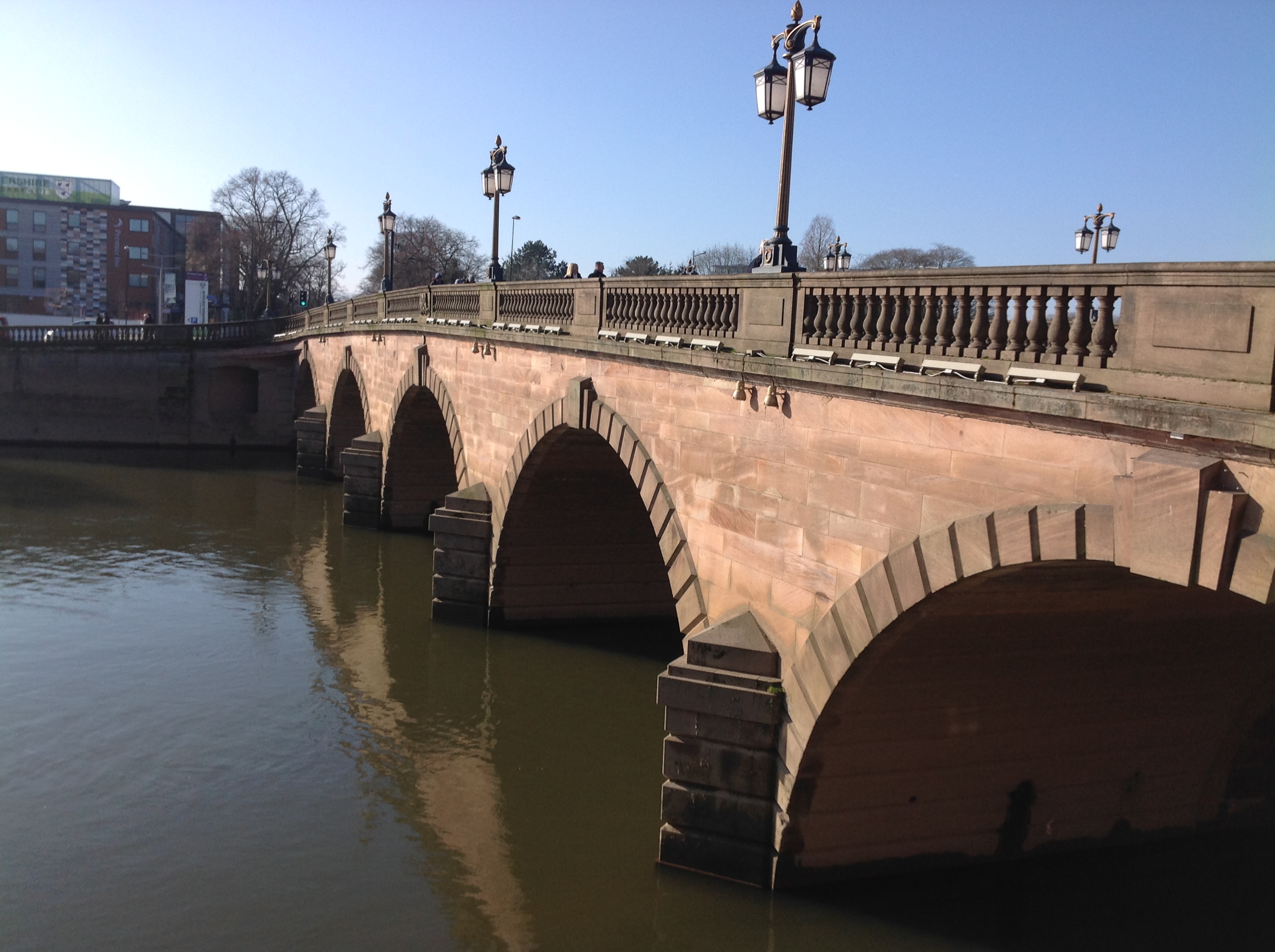
EPW001301 ENGLAND (1920). Worcester Bridge and the County Cricket Ground, Worcester, 1920

© Copyright OpenStreetMap contributors and licensed by the OpenStreetMap Foundation. 2026. Cartography is licensed as CC BY-SA.
Nearby Images (20)
EPW001301

EPW000203

EPW001300

EPW001336

EPW005380

EAW023845

EPW000206

EAW023846

EAW046113

EPW005384

EPW045004

EAW046114

EAW023848

EPW048089

EPW000204

EPW005407

EPW001335

EPW001304

EAW046115

EAW046116

Details
| Title | [EPW001301] Worcester Bridge and the County Cricket Ground, Worcester, 1920 |
| Reference | EPW001301 |
| Date | May-1920 |
| Link | |
| Place name | WORCESTER |
| Parish | |
| District | |
| Country | ENGLAND |
| Easting / Northing | 384682, 254740 |
| Longitude / Latitude | -2.2241030921621, 52.190285537568 |
| National Grid Reference | SO847547 |
Pins

John h |
Thursday 19th of December 2019 04:31:09 PM | |

Class31 |
Monday 9th of February 2015 08:37:58 AM | |
|
Class31 |
Monday 9th of February 2015 08:33:53 AM | |
|
Class31 |
Monday 9th of February 2015 08:31:33 AM | |
|
Class31 |
Monday 9th of February 2015 08:29:22 AM | |
|
Class31 |
Monday 9th of February 2015 08:28:24 AM | |
|
Class31 |
Monday 9th of February 2015 08:27:28 AM | |
 |
Class31 |
Monday 9th of February 2015 08:25:13 AM |
|
Class31 |
Monday 18th of February 2013 05:03:48 PM | |
|
Class31 |
Monday 18th of February 2013 04:39:23 PM | |
|
Class31 |
Monday 18th of February 2013 04:30:47 PM | |
|
Class31 |
Monday 18th of February 2013 04:20:07 PM |