
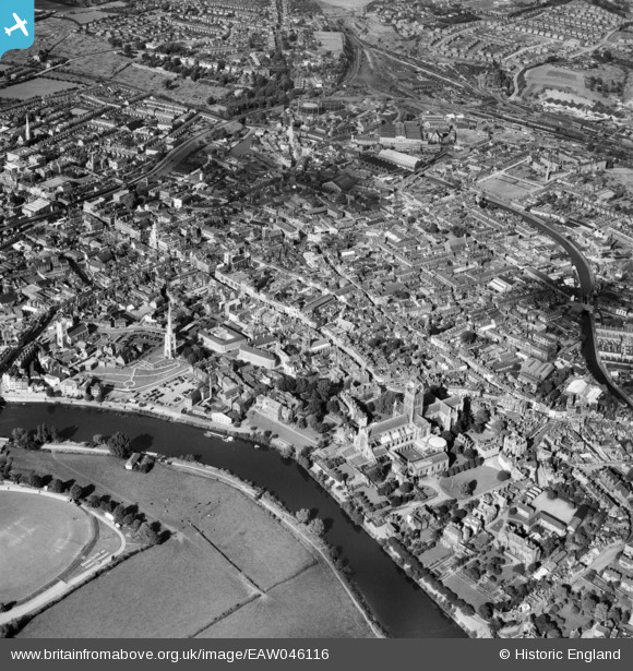
EAW046116 ENGLAND (1952). The town, Worcester, from the south, 1952
© Copyright OpenStreetMap contributors and licensed by the OpenStreetMap Foundation. 2026. Cartography is licensed as CC BY-SA.
Nearby Images (24)
EAW046116

EPW000208

EAW046115

EPW001335

EPW034600

EPW048089

EPW041738

EPW005411

EPW005408

EPW041768

EPW041739

EPW005409

EPW000398

EPW000205

EPW000401

EAW023846

EPW045004

EPW001305

EAW023847

EPW005380

EAW003990

EPW001301

EPW000203

EPW000202

Details
| Title | [EAW046116] The town, Worcester, from the south, 1952 |
| Reference | EAW046116 |
| Date | 25-August-1952 |
| Link | |
| Place name | WORCESTER |
| Parish | |
| District | |
| Country | ENGLAND |
| Easting / Northing | 384882, 254524 |
| Longitude / Latitude | -2.221167469018, 52.188348919333 |
| National Grid Reference | SO849545 |
Pins

Wendy |
Saturday 9th of January 2021 09:20:06 AM |