
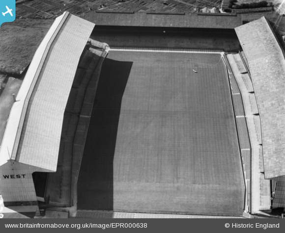
EPR000638 ENGLAND (1935). Twickenham Rugby Football Ground, Twickenham, 1935
© Copyright OpenStreetMap contributors and licensed by the OpenStreetMap Foundation. 2026. Cartography is licensed as CC BY-SA.
Nearby Images (22)
EPR000638

EPW049453

EPW025839

EPW023249

EPW025845

EPW025843

EPW025842

EPW025840

EPW022945

EPW025841

EPW049454

EPW049449

EPW049446

EPW025844

EPW049451

EPW049455

EPW049447

EPW049452

EPW049450

EPW017385

EPW049448

EPW034843

Details
| Title | [EPR000638] Twickenham Rugby Football Ground, Twickenham, 1935 |
| Reference | EPR000638 |
| Date | 22-June-1935 |
| Link | |
| Place name | TWICKENHAM |
| Parish | |
| District | |
| Country | ENGLAND |
| Easting / Northing | 515304, 174302 |
| Longitude / Latitude | -0.34027044862422, 51.455452205265 |
| National Grid Reference | TQ153743 |
Pins
Be the first to add a comment to this image!