
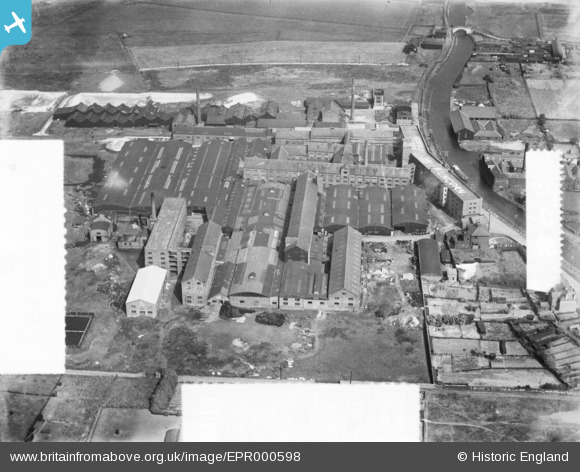
EPR000598 ENGLAND (1935). The Highfield Tannery, Runcorn, 1935. This image was marked by Aero Pictorial Ltd for photo editing.
© Copyright OpenStreetMap contributors and licensed by the OpenStreetMap Foundation. 2026. Cartography is licensed as CC BY-SA.
Nearby Images (7)
EPR000598

EPR000513

EPR000512A

EPR000594

EPR000595

EPR000596

EPR000597

Details
| Title | [EPR000598] The Highfield Tannery, Runcorn, 1935. This image was marked by Aero Pictorial Ltd for photo editing. |
| Reference | EPR000598 |
| Date | 10-May-1935 |
| Link | |
| Place name | RUNCORN |
| Parish | |
| District | |
| Country | ENGLAND |
| Easting / Northing | 352621, 383057 |
| Longitude / Latitude | -2.711696325676, 53.342019354115 |
| National Grid Reference | SJ526831 |
Pins

Bottom Yard |
Saturday 17th of May 2025 03:33:58 PM | |
|
Bottom Yard |
Saturday 17th of May 2025 03:32:33 PM | |
|
Bottom Yard |
Saturday 17th of May 2025 03:30:10 PM | |

Ginger79 |
Sunday 7th of June 2020 09:52:43 AM | |
|
david |
Sunday 19th of April 2015 05:34:46 AM | |
|
david |
Sunday 19th of April 2015 05:34:41 AM | |
|
david |
Sunday 19th of April 2015 02:55:02 AM |