
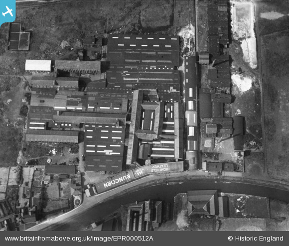
EPR000512A ENGLAND (1934). Highfield Tannery, Runcorn, 1934
© Copyright OpenStreetMap contributors and licensed by the OpenStreetMap Foundation. 2026. Cartography is licensed as CC BY-SA.
Nearby Images (7)
EPR000512A

EPR000513

EPR000598

EPR000595

EPR000594

EPR000596

EPR000597

Details
| Title | [EPR000512A] Highfield Tannery, Runcorn, 1934 |
| Reference | EPR000512A |
| Date | 9-July-1934 |
| Link | |
| Place name | RUNCORN |
| Parish | |
| District | |
| Country | ENGLAND |
| Easting / Northing | 352665, 383037 |
| Longitude / Latitude | -2.7110324515399, 53.341843513524 |
| National Grid Reference | SJ527830 |
Pins
Be the first to add a comment to this image!