
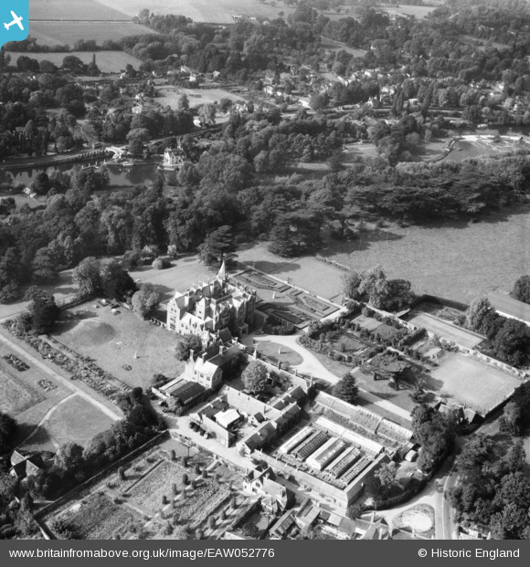
EAW052776 ENGLAND (1953). Taplow Court and environs, Taplow, 1953
© Copyright OpenStreetMap contributors and licensed by the OpenStreetMap Foundation. 2026. Cartography is licensed as CC BY-SA.
Nearby Images (8)
EAW052776

EAW052778

EAW052781

EAW052777

EAW052775

EAW052782

EAW052780

EAW028018

Details
| Title | [EAW052776] Taplow Court and environs, Taplow, 1953 |
| Reference | EAW052776 |
| Date | 9-October-1953 |
| Link | |
| Place name | TAPLOW |
| Parish | TAPLOW |
| District | |
| Country | ENGLAND |
| Easting / Northing | 490601, 182271 |
| Longitude / Latitude | -0.69369567913266, 51.531588587166 |
| National Grid Reference | SU906823 |
Pins
Be the first to add a comment to this image!