
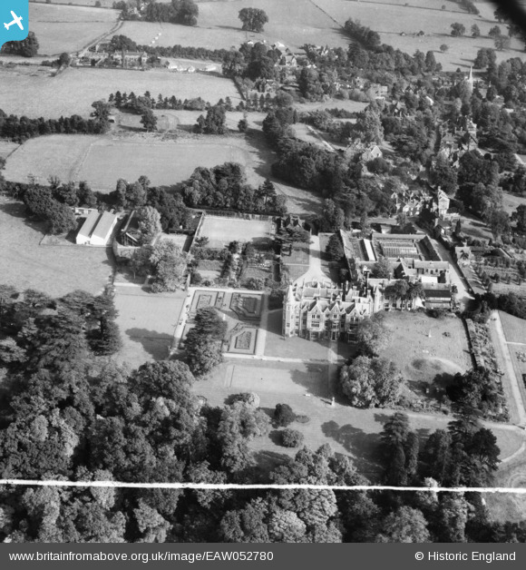
EAW052780 ENGLAND (1953). Taplow Court, Taplow, 1953. This image was marked by Aerofilms Ltd for photo editing.
© Copyright OpenStreetMap contributors and licensed by the OpenStreetMap Foundation. 2026. Cartography is licensed as CC BY-SA.
Nearby Images (7)
EAW052780

EAW052777

EAW052782

EAW052775

EAW052781

EAW052778

EAW052776

Details
| Title | [EAW052780] Taplow Court, Taplow, 1953. This image was marked by Aerofilms Ltd for photo editing. |
| Reference | EAW052780 |
| Date | 9-October-1953 |
| Link | |
| Place name | TAPLOW |
| Parish | TAPLOW |
| District | |
| Country | ENGLAND |
| Easting / Northing | 490690, 182257 |
| Longitude / Latitude | -0.69241642415346, 51.531448433314 |
| National Grid Reference | SU907823 |
Pins
Be the first to add a comment to this image!