
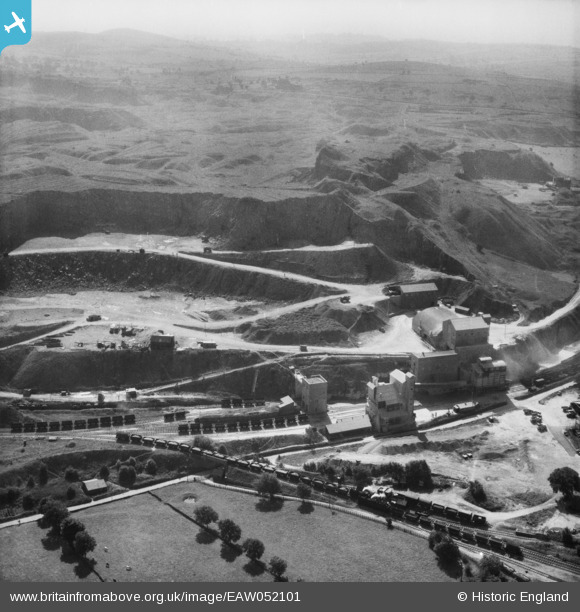
EAW052101 ENGLAND (1953). The Caldonlow Quarries, Cauldon, from the north, 1953
© Copyright OpenStreetMap contributors and licensed by the OpenStreetMap Foundation. 2026. Cartography is licensed as CC BY-SA.
Nearby Images (11)
EAW052101

EAW052100

EAW052090

EAW052091

EAW052092

EAW052094

EAW052095

EAW052097

EAW052096

EAW052086

EAW052087

Details
| Title | [EAW052101] The Caldonlow Quarries, Cauldon, from the north, 1953 |
| Reference | EAW052101 |
| Date | 7-September-1953 |
| Link | |
| Place name | CAULDON |
| Parish | WATERHOUSES |
| District | |
| Country | ENGLAND |
| Easting / Northing | 407464, 349114 |
| Longitude / Latitude | -1.8886692985172, 53.038944287061 |
| National Grid Reference | SK075491 |
Pins

bescotbeast |
Wednesday 29th of January 2025 05:05:02 PM | |
|
bescotbeast |
Wednesday 29th of January 2025 05:04:16 PM | |
|
bescotbeast |
Wednesday 29th of January 2025 05:02:43 PM |