
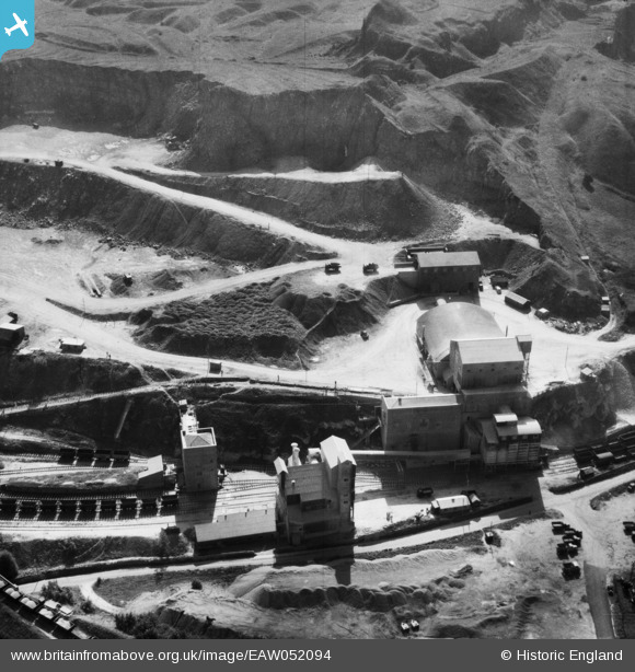
EAW052094 ENGLAND (1953). The Caldonlow Quarries, Cauldon, 1953
© Copyright OpenStreetMap contributors and licensed by the OpenStreetMap Foundation. 2026. Cartography is licensed as CC BY-SA.
Nearby Images (12)
EAW052094

EAW052090

EAW052100

EAW052092

EAW052095

EAW052091

EAW052101

EAW052097

EAW052086

EAW052087

EAW052096

EAW052084

Details
| Title | [EAW052094] The Caldonlow Quarries, Cauldon, 1953 |
| Reference | EAW052094 |
| Date | 7-September-1953 |
| Link | |
| Place name | CAULDON |
| Parish | WATERHOUSES |
| District | |
| Country | ENGLAND |
| Easting / Northing | 407474, 348997 |
| Longitude / Latitude | -1.8885228550005, 53.037892300742 |
| National Grid Reference | SK075490 |
Pins
Be the first to add a comment to this image!