
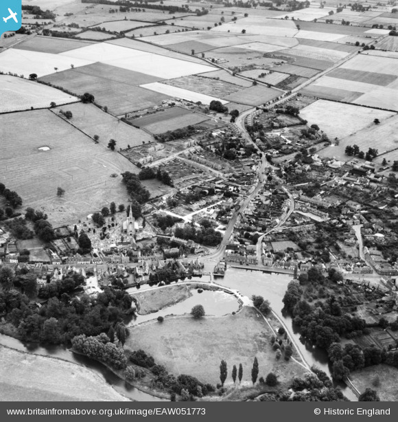
EAW051773 ENGLAND (1953). The town, Godmanchester, 1953
© Copyright OpenStreetMap contributors and licensed by the OpenStreetMap Foundation. 2026. Cartography is licensed as CC BY-SA.
Nearby Images (4)
EAW051773

EAW051771

EAW051772

EPW009848

Details
| Title | [EAW051773] The town, Godmanchester, 1953 |
| Reference | EAW051773 |
| Date | 14-August-1953 |
| Link | |
| Place name | GODMANCHESTER |
| Parish | GODMANCHESTER |
| District | |
| Country | ENGLAND |
| Easting / Northing | 524678, 270643 |
| Longitude / Latitude | -0.17057680550416, 52.319321595758 |
| National Grid Reference | TL247706 |
Pins
Be the first to add a comment to this image!