
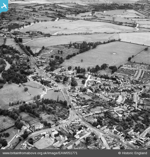
EAW051771 ENGLAND (1953). The town, Godmanchester, 1953
© Copyright OpenStreetMap contributors and licensed by the OpenStreetMap Foundation. 2026. Cartography is licensed as CC BY-SA.
Nearby Images (4)
EAW051771

EAW051773

EAW003735

EAW051772

Details
| Title | [EAW051771] The town, Godmanchester, 1953 |
| Reference | EAW051771 |
| Date | 14-August-1953 |
| Link | |
| Place name | GODMANCHESTER |
| Parish | GODMANCHESTER |
| District | |
| Country | ENGLAND |
| Easting / Northing | 524567, 270699 |
| Longitude / Latitude | -0.17218388776005, 52.319850054085 |
| National Grid Reference | TL246707 |
Pins

Matt Aldred edob.mattaldred.com |
Sunday 8th of November 2020 08:59:35 PM |