
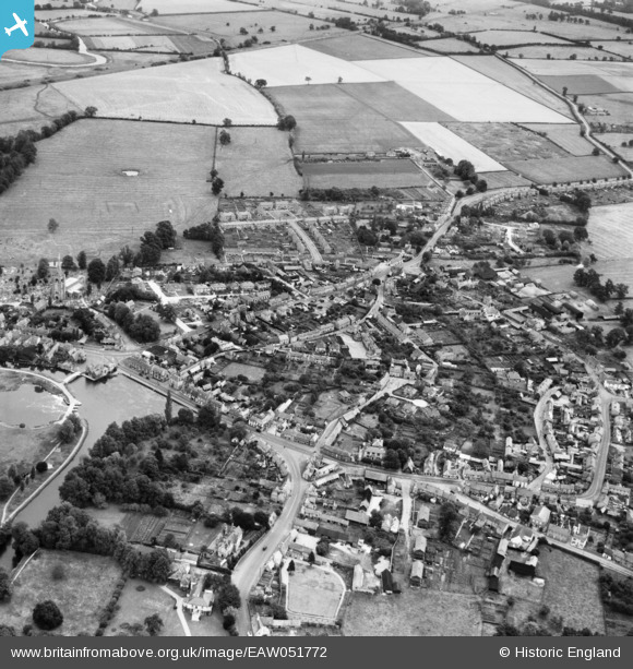
EAW051772 ENGLAND (1953). The town, Godmanchester, 1953
© Copyright OpenStreetMap contributors and licensed by the OpenStreetMap Foundation. 2026. Cartography is licensed as CC BY-SA.
Nearby Images (4)
EAW051772

EAW051773

EPW009848

EAW051771

Details
| Title | [EAW051772] The town, Godmanchester, 1953 |
| Reference | EAW051772 |
| Date | 14-August-1953 |
| Link | |
| Place name | GODMANCHESTER |
| Parish | GODMANCHESTER |
| District | |
| Country | ENGLAND |
| Easting / Northing | 524689, 270518 |
| Longitude / Latitude | -0.17046183124244, 52.31819576358 |
| National Grid Reference | TL247705 |
Pins

Kentishman |
Saturday 16th of March 2024 10:27:49 PM |