
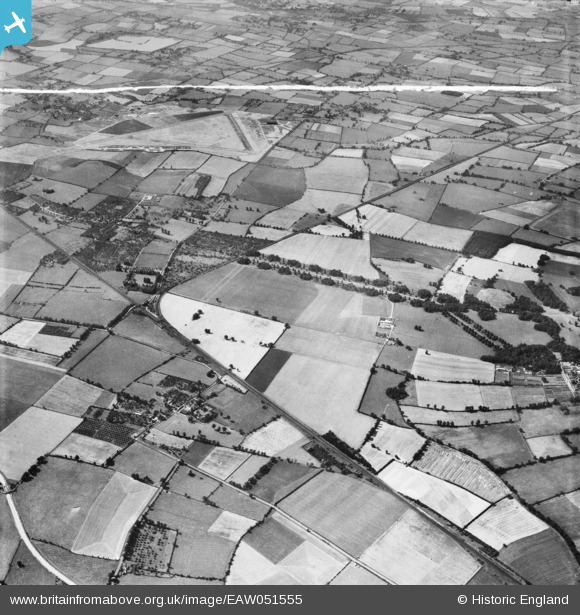
EAW051555 ENGLAND (1953). Cheddington station and village and surrounding countryside, Cheddington, 1953. This image was marked by Aerofilms Ltd for photo editing.
© Copyright OpenStreetMap contributors and licensed by the OpenStreetMap Foundation. 2026. Cartography is licensed as CC BY-SA.
Nearby Images (4)
EAW051555

EAW050815

EAW051558

EAW050816

Details
| Title | [EAW051555] Cheddington station and village and surrounding countryside, Cheddington, 1953. This image was marked by Aerofilms Ltd for photo editing. |
| Reference | EAW051555 |
| Date | 14-August-1953 |
| Link | |
| Place name | CHEDDINGTON |
| Parish | CHEDDINGTON |
| District | |
| Country | ENGLAND |
| Easting / Northing | 491487, 218528 |
| Longitude / Latitude | -0.67141360476442, 51.857389084324 |
| National Grid Reference | SP915185 |
Pins

Bluid |
Wednesday 15th of June 2016 02:04:35 PM |