
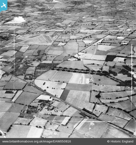
EAW050816 ENGLAND (1953). Mentmore Park, the former RAF Cheddington and surrounding countryside, Cheddington, 1953
© Copyright OpenStreetMap contributors and licensed by the OpenStreetMap Foundation. 2026. Cartography is licensed as CC BY-SA.
Nearby Images (4)
EAW050816

EAW050812

EAW050815

EAW051555

Details
| Title | [EAW050816] Mentmore Park, the former RAF Cheddington and surrounding countryside, Cheddington, 1953 |
| Reference | EAW050816 |
| Date | 21-July-1953 |
| Link | |
| Place name | CHEDDINGTON |
| Parish | CHEDDINGTON |
| District | |
| Country | ENGLAND |
| Easting / Northing | 491322, 218282 |
| Longitude / Latitude | -0.67387408492155, 51.855204686034 |
| National Grid Reference | SP913183 |
Pins

Bluid |
Saturday 6th of September 2014 09:06:51 PM |