
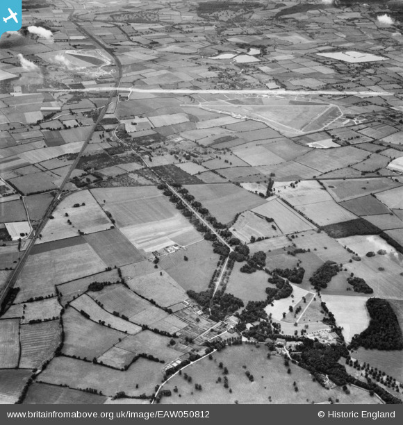
EAW050812 ENGLAND (1953). Mentmore Park, the former RAF Cheddington and surrounding countryside, Cheddington, 1953. This image was marked by Aerofilms Ltd for photo editing.
© Copyright OpenStreetMap contributors and licensed by the OpenStreetMap Foundation. 2026. Cartography is licensed as CC BY-SA.
Nearby Images (4)
EAW050812

EAW050816

EAW051554

EAW051553

Details
| Title | [EAW050812] Mentmore Park, the former RAF Cheddington and surrounding countryside, Cheddington, 1953. This image was marked by Aerofilms Ltd for photo editing. |
| Reference | EAW050812 |
| Date | 21-July-1953 |
| Link | |
| Place name | CHEDDINGTON |
| Parish | CHEDDINGTON |
| District | |
| Country | ENGLAND |
| Easting / Northing | 491296, 218212 |
| Longitude / Latitude | -0.67427002828839, 51.854579671939 |
| National Grid Reference | SP913182 |
Pins

Bluid |
Saturday 6th of September 2014 08:58:51 PM |