
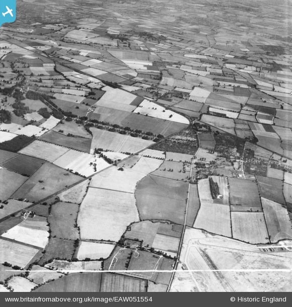
EAW051554 ENGLAND (1953). Mentmore Park, the village and surrounding countryside, Cheddington, 1953. This image was marked by Aerofilms Ltd for photo editing.
© Copyright OpenStreetMap contributors and licensed by the OpenStreetMap Foundation. 2026. Cartography is licensed as CC BY-SA.
Nearby Images (4)
EAW051554

EAW051557

EAW050813

EAW050812

Details
| Title | [EAW051554] Mentmore Park, the village and surrounding countryside, Cheddington, 1953. This image was marked by Aerofilms Ltd for photo editing. |
| Reference | EAW051554 |
| Date | 14-August-1953 |
| Link | |
| Place name | CHEDDINGTON |
| Parish | CHEDDINGTON |
| District | |
| Country | ENGLAND |
| Easting / Northing | 491331, 217965 |
| Longitude / Latitude | -0.67382721407355, 51.852353524624 |
| National Grid Reference | SP913180 |
Pins
Be the first to add a comment to this image!