
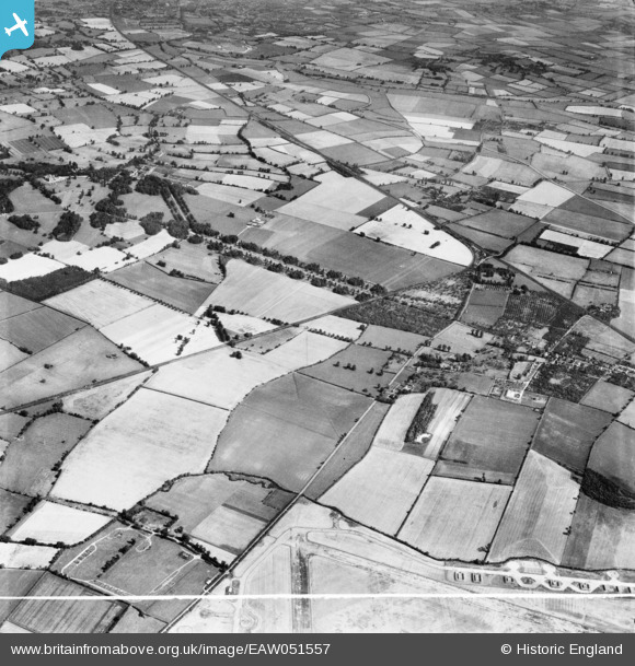
EAW051557 ENGLAND (1953). Mentmore Park, the village and surrounding countryside, Cheddington, 1953. This image was marked by Aerofilms Ltd for photo editing.
© Copyright OpenStreetMap contributors and licensed by the OpenStreetMap Foundation. 2026. Cartography is licensed as CC BY-SA.
Nearby Images (6)
EAW051557

EAW050813

EAW051554

EAW050811

EAW051553

EAW051556

Details
| Title | [EAW051557] Mentmore Park, the village and surrounding countryside, Cheddington, 1953. This image was marked by Aerofilms Ltd for photo editing. |
| Reference | EAW051557 |
| Date | 14-August-1953 |
| Link | |
| Place name | CHEDDINGTON |
| Parish | CHEDDINGTON |
| District | |
| Country | ENGLAND |
| Easting / Northing | 491232, 217879 |
| Longitude / Latitude | -0.67528703271524, 51.851596616148 |
| National Grid Reference | SP912179 |
Pins

Bluid |
Sunday 12th of February 2023 11:36:39 AM | |
 |
Bluid |
Sunday 12th of February 2023 11:22:37 AM |
|
Bluid |
Sunday 12th of February 2023 10:36:10 AM | |
|
Bluid |
Wednesday 15th of June 2016 01:55:36 PM | |
|
Bluid |
Wednesday 15th of June 2016 01:53:46 PM | |
|
Bluid |
Wednesday 15th of June 2016 01:47:57 PM | |
Went to Aylesbury High Street station. Closed to passengers in January 1953, and to goods traffic in 1963, and was demolished soon after closure. |
John W |
Saturday 17th of September 2016 07:53:10 PM |
|
Bluid |
Wednesday 15th of June 2016 01:46:53 PM |
