
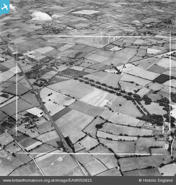
EAW050815 ENGLAND (1953). Mentmore Park, the former RAF Cheddington and surrounding countryside, Cheddington, 1953. This image was marked by Aerofilms Ltd for photo editing.
© Copyright OpenStreetMap contributors and licensed by the OpenStreetMap Foundation. 2026. Cartography is licensed as CC BY-SA.
Nearby Images (3)
EAW050815

EAW051555

EAW050816

Details
| Title | [EAW050815] Mentmore Park, the former RAF Cheddington and surrounding countryside, Cheddington, 1953. This image was marked by Aerofilms Ltd for photo editing. |
| Reference | EAW050815 |
| Date | 21-July-1953 |
| Link | |
| Place name | CHEDDINGTON |
| Parish | CHEDDINGTON |
| District | |
| Country | ENGLAND |
| Easting / Northing | 491468, 218468 |
| Longitude / Latitude | -0.6717053303089, 51.856852827027 |
| National Grid Reference | SP915185 |
Pins

Bluid |
Saturday 6th of September 2014 09:05:34 PM |