
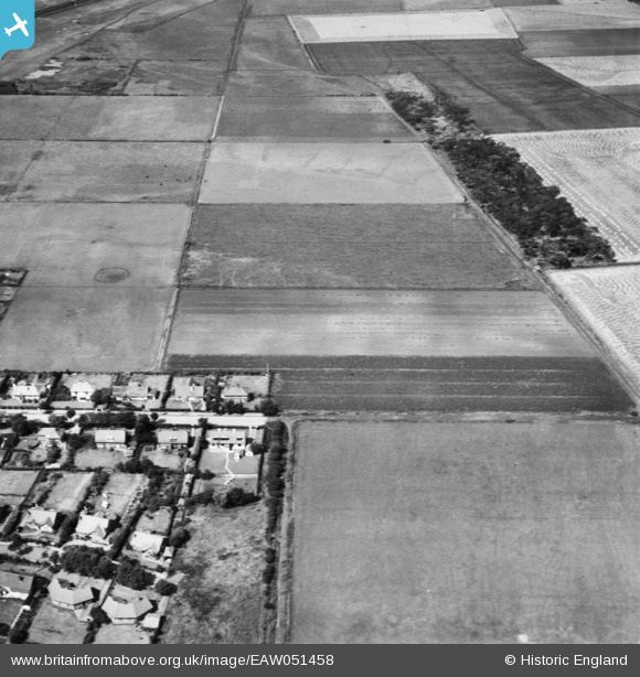
EAW051458 ENGLAND (1953). Fields in cultivation between Sniggery Wood and Hall Road East, Blundellsands, 1953
© Copyright OpenStreetMap contributors and licensed by the OpenStreetMap Foundation. 2025. Cartography is licensed as CC BY-SA.
Nearby Images (8)
EAW051458

EAW051453

EAW051451

EAW051456

EAW051455

EAW051454

EAW051452

EAW051457

Details
| Title | [EAW051458] Fields in cultivation between Sniggery Wood and Hall Road East, Blundellsands, 1953 |
| Reference | EAW051458 |
| Date | 12-August-1953 |
| Link | |
| Place name | BLUNDELLSANDS |
| Parish | |
| District | |
| Country | ENGLAND |
| Easting / Northing | 331029, 401071 |
| Longitude / Latitude | -3.0399316986609, 53.501556337042 |
| National Grid Reference | SD310011 |

