
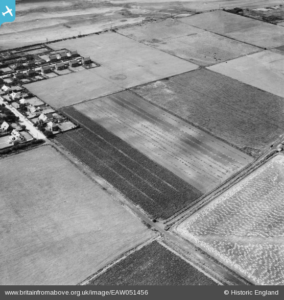
EAW051456 ENGLAND (1953). Fields in cultivation near Hall Road East, Blundellsands, 1953
© Copyright OpenStreetMap contributors and licensed by the OpenStreetMap Foundation. 2025. Cartography is licensed as CC BY-SA.
Nearby Images (8)
EAW051456

EAW051454

EAW051453

EAW051455

EAW051451

EAW051458

EAW051457

EAW051452

Details
| Title | [EAW051456] Fields in cultivation near Hall Road East, Blundellsands, 1953 |
| Reference | EAW051456 |
| Date | 12-August-1953 |
| Link | |
| Place name | BLUNDELLSANDS |
| Parish | |
| District | |
| Country | ENGLAND |
| Easting / Northing | 331081, 401060 |
| Longitude / Latitude | -3.0391453762172, 53.501464286671 |
| National Grid Reference | SD311011 |
Pins

Class31 |
Monday 1st of June 2015 04:37:17 PM |