
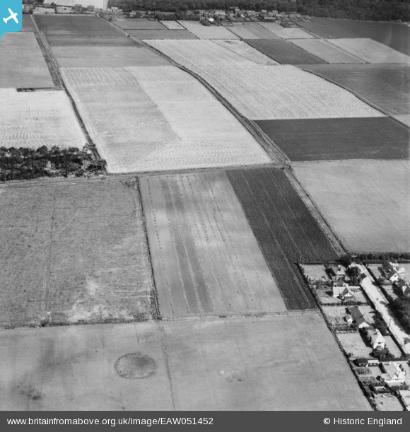
EAW051452 ENGLAND (1953). Dibb Lane and surrounding fields in cultivation, Blundellsands, 1953
© Copyright OpenStreetMap contributors and licensed by the OpenStreetMap Foundation. 2025. Cartography is licensed as CC BY-SA.
Nearby Images (8)
EAW051452

EAW051455

EAW051454

EAW051456

EAW051457

EAW051453

EAW051458

EAW051451

Details
| Title | [EAW051452] Dibb Lane and surrounding fields in cultivation, Blundellsands, 1953 |
| Reference | EAW051452 |
| Date | 12-August-1953 |
| Link | |
| Place name | BLUNDELLSANDS |
| Parish | |
| District | |
| Country | ENGLAND |
| Easting / Northing | 331111, 401128 |
| Longitude / Latitude | -3.0387080653563, 53.502079400114 |
| National Grid Reference | SD311011 |
Pins


User Comment Contributions

Well Cross, Little Crosby, 29/05/2015 |

Class31 |
Tuesday 15th of December 2015 12:03:53 PM |