
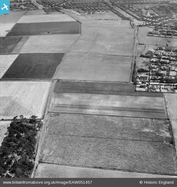
EAW051457 ENGLAND (1953). Fields in cultivation around Sniggery Wood and Dibb Lane, Blundellsands, 1953
© Copyright OpenStreetMap contributors and licensed by the OpenStreetMap Foundation. 2025. Cartography is licensed as CC BY-SA.
Nearby Images (8)
EAW051457

EAW051454

EAW051456

EAW051455

EAW051452

EAW051453

EAW051451

EAW051458

Details
| Title | [EAW051457] Fields in cultivation around Sniggery Wood and Dibb Lane, Blundellsands, 1953 |
| Reference | EAW051457 |
| Date | 12-August-1953 |
| Link | |
| Place name | BLUNDELLSANDS |
| Parish | |
| District | |
| Country | ENGLAND |
| Easting / Northing | 331153, 401053 |
| Longitude / Latitude | -3.0380584348837, 53.501410801755 |
| National Grid Reference | SD312011 |
