
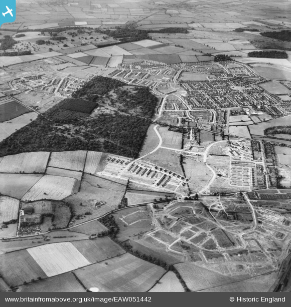
EAW051442 ENGLAND (1953). Housing development around Hazel and Thoroughsale Woods, Corby, 1953
© Copyright OpenStreetMap contributors and licensed by the OpenStreetMap Foundation. 2026. Cartography is licensed as CC BY-SA.
Nearby Images (5)
EAW051442

EAW045555

EAW045554A

EAW049213

EAW045572

Details
| Title | [EAW051442] Housing development around Hazel and Thoroughsale Woods, Corby, 1953 |
| Reference | EAW051442 |
| Date | 12-August-1953 |
| Link | |
| Place name | CORBY |
| Parish | |
| District | |
| Country | ENGLAND |
| Easting / Northing | 488025, 288536 |
| Longitude / Latitude | -0.70350632708494, 52.487262288794 |
| National Grid Reference | SP880885 |
Pins
Be the first to add a comment to this image!