
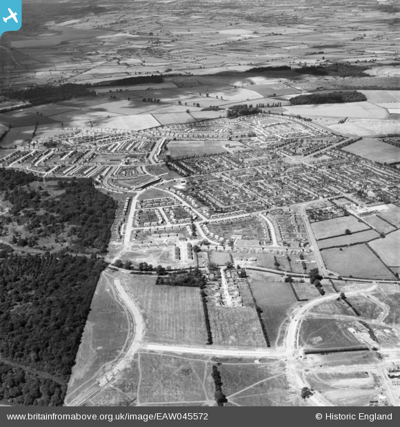
EAW045572 ENGLAND (1952). The town, Corby, from the south, 1952
© Copyright OpenStreetMap contributors and licensed by the OpenStreetMap Foundation. 2026. Cartography is licensed as CC BY-SA.
Nearby Images (4)
EAW045572

EAW051448

EAW045556

EAW051442

Details
| Title | [EAW045572] The town, Corby, from the south, 1952 |
| Reference | EAW045572 |
| Date | 19-July-1952 |
| Link | |
| Place name | CORBY |
| Parish | |
| District | |
| Country | ENGLAND |
| Easting / Northing | 488206, 288774 |
| Longitude / Latitude | -0.70077813121968, 52.489372357803 |
| National Grid Reference | SP882888 |
Pins
Be the first to add a comment to this image!