
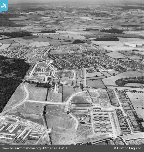
EAW045556 ENGLAND (1952). The town, Corby, from the south, 1952
© Copyright OpenStreetMap contributors and licensed by the OpenStreetMap Foundation. 2026. Cartography is licensed as CC BY-SA.
Nearby Images (2)
EAW045556

EAW045572

Details
| Title | [EAW045556] The town, Corby, from the south, 1952 |
| Reference | EAW045556 |
| Date | 19-July-1952 |
| Link | |
| Place name | CORBY |
| Parish | |
| District | |
| Country | ENGLAND |
| Easting / Northing | 488430, 288600 |
| Longitude / Latitude | -0.69752587966907, 52.487772060394 |
| National Grid Reference | SP884886 |
Pins

Michael Mahon |
Monday 12th of October 2015 06:19:39 PM |