
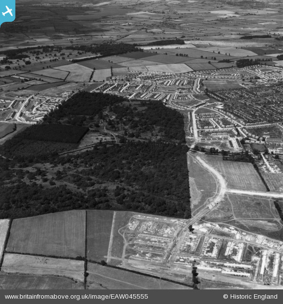
EAW045555 ENGLAND (1952). Thoroughsale Wood, Hazel Wood and environs, Corby, from the south, 1952. This iamge has been produced from a print.
© Copyright OpenStreetMap contributors and licensed by the OpenStreetMap Foundation. 2026. Cartography is licensed as CC BY-SA.
Nearby Images (3)
EAW045555

EAW045554A

EAW051442

Details
| Title | [EAW045555] Thoroughsale Wood, Hazel Wood and environs, Corby, from the south, 1952. This iamge has been produced from a print. |
| Reference | EAW045555 |
| Date | 19-July-1952 |
| Link | |
| Place name | CORBY |
| Parish | |
| District | |
| Country | ENGLAND |
| Easting / Northing | 487845, 288490 |
| Longitude / Latitude | -0.70616889197934, 52.486877824627 |
| National Grid Reference | SP878885 |
Pins
Be the first to add a comment to this image!