
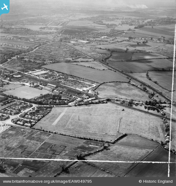
EAW049795 ENGLAND (1953). The Cementation Co Works and the surrounding area, Bentley, from the north-east, 1953. This image was marked by Aerofilms Ltd for photo editing.
© Copyright OpenStreetMap contributors and licensed by the OpenStreetMap Foundation. 2026. Cartography is licensed as CC BY-SA.
Nearby Images (23)
EAW049795

EAW049796

EAW049793

EPW042041

EPW041511

EPW042044

EAW048674

EAW049792

EAW049791

EPW041515

EPW041512

EAW048673

EAW046011

EPW041509

EPW041508

EAW046010

EPW041513

EAW048677

EAW049794

EPW041514

EAW049173

EAW049172

EPW042042

Details
| Title | [EAW049795] The Cementation Co Works and the surrounding area, Bentley, from the north-east, 1953. This image was marked by Aerofilms Ltd for photo editing. |
| Reference | EAW049795 |
| Date | 30-May-1953 |
| Link | |
| Place name | BENTLEY |
| Parish | |
| District | |
| Country | ENGLAND |
| Easting / Northing | 456224, 406121 |
| Longitude / Latitude | -1.1513325360241, 53.548465317432 |
| National Grid Reference | SE562061 |
Pins
Be the first to add a comment to this image!