
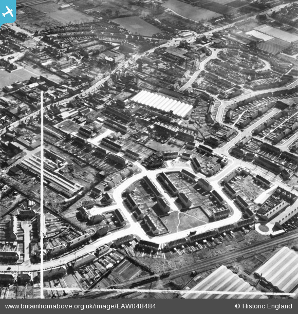
EAW048484 ENGLAND (1953). The residential area surrounding Kenworth Close, Ruthven Avenue and environs, Waltham Cross, 1953. This image was marked by Aerofilms Ltd for photo editing.
© Copyright OpenStreetMap contributors and licensed by the OpenStreetMap Foundation. 2025. Cartography is licensed as CC BY-SA.
Nearby Images (16)
EAW048484

EAW048478

EAW048485

EAW048486

EAW048481

EAW048477

EAW048480

EAW048479

EAW048472

EAW048475

EAW048476

EAW048473

EAW048474

EAW048483

EAW048482

EPW013336

Details
| Title | [EAW048484] The residential area surrounding Kenworth Close, Ruthven Avenue and environs, Waltham Cross, 1953. This image was marked by Aerofilms Ltd for photo editing. |
| Reference | EAW048484 |
| Date | 28-February-1953 |
| Link | |
| Place name | WALTHAM CROSS |
| Parish | |
| District | |
| Country | ENGLAND |
| Easting / Northing | 535839, 200570 |
| Longitude / Latitude | -0.034696389087162, 51.686970998611 |
| National Grid Reference | TL358006 |
Pins

stan m |
Thursday 5th of January 2017 03:45:11 PM | |
|
Ray Flack |
Monday 16th of June 2014 03:15:14 PM | |
|
Ray Flack |
Monday 16th of June 2014 03:13:54 PM | |
|
Ray Flack |
Monday 16th of June 2014 02:56:41 PM | |
|
Ray Flack |
Monday 16th of June 2014 02:55:02 PM | |
|
Ray Flack |
Monday 16th of June 2014 02:54:18 PM |