
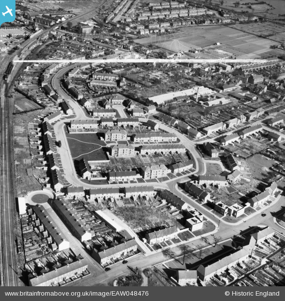
EAW048476 ENGLAND (1953). The residential area surrounding Kenworth Close and Leven Drive, Waltham Cross, 1953. This image was marked by Aerofilms Ltd for photo editing.
© Copyright OpenStreetMap contributors and licensed by the OpenStreetMap Foundation. 2025. Cartography is licensed as CC BY-SA.
Nearby Images (16)
EAW048476

EAW048473

EAW048479

EAW048474

EAW048472

EAW048480

EAW048483

EAW048475

EAW048486

EAW048485

EAW048477

EAW048481

EAW048482

EAW048484

EAW048478

EPW013336

Details
| Title | [EAW048476] The residential area surrounding Kenworth Close and Leven Drive, Waltham Cross, 1953. This image was marked by Aerofilms Ltd for photo editing. |
| Reference | EAW048476 |
| Date | 28-February-1953 |
| Link | |
| Place name | WALTHAM CROSS |
| Parish | |
| District | |
| Country | ENGLAND |
| Easting / Northing | 535758, 200659 |
| Longitude / Latitude | -0.035832918641726, 51.687790428991 |
| National Grid Reference | TL358007 |
Pins
Be the first to add a comment to this image!